Active GIS Maps
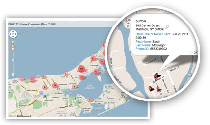
Each distinct household or address filing a complaint is geo-coded and mapped to quickly and accurately identify noise sensitive areas and trends. Active GIS maps allow users to pan, zoom and drill all the way down to the roof-top level to see the individual complaint data.


